Morning Metro: DeKalb Soapbox Derby Track in Limbo, LSOS Talks of Store’s Success, and Butchering is the New Vegan For Some
Decatur Metro | January 30, 2012 | 9:09 am
- Soapbox Derby track planned for East DeKalb “hits the skids” [AJC]
- Aerial photos of Medlock Park in the 1950s shows a land of ag [MANA]
- Continuing the argument for Brookhaven cityhood [Mike Jacobs]
- LSOS owner relays secrets to shop’s continued success [Publisher’s Weekly]
- Sublime Doughnuts opening Thailand branch [AJC]
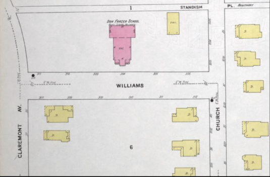
- New Atlanta school maps please some, tick off others [AJC]
- Only two more days to vote Decatur Southern Living’s “Tastiest Town” [SL]
- Former vegan embraces butchering [NPR]
Maps courtesy of MANA


I hope there won’t be a Tempest over those Ariel photos. They seem to show a very Prospero little neighborhood.
Hee!
Someone needs to tell MANA that it’s AERIAL. Ariel is a proper name.
The pics are neat, though.
Seems that’s how it’s spelled there… talk to DM
I know – he just copied it from their blog – like I said, MANA got it wrong.
I’m head scratching. The MANA site has it like this: aerial. Isn’t that right?
I think they must have fixed it. It was wrong when I looked at it earlier today.
But let’s be honest. I always spell that word incorrectly!
Seriously!!!!?? Thailand gets a Sublime Doughnuts, but we still have to drive halfway across the state for some! How about another ATL location first, pretty please!
You know the American economy has become completely unfriendly to business when our American doughnut jobs head to Thailand.
Why is DeKalb spending money on building soap box derby tracks? In Lithonia? Who owned that “park land” before the county purchased it?
The article explans why! That part of the County is where most of the cirrent and future growth is.
The Geico pig needs somewhere to race.
Sent a note to my cousins in Thailand about Sublime coming to their town! They’ve been seeing photos of these beautiful doughnuts on our flickr stream for years. They are psyched!
I always wondered where the old drive-in was. Now I know.
It’s also interesting to the see the Decatur waterworks (on the left edge) with its reservoir and spacious lawns.
Now I’m wondering what is the big building below N Druid Hills and the RR tracks, near the top middle of the photo?
There was some kind of metal fabrication industry off N. Druid Hills Rd where it goes over the RR. Probably all kinds of toxic soil pollution. That is probably it.
I can’t make out any of these things you all are mentioning, not drive-in, not iron works. I guess I do better with Jamine or Tinkerbell vs. Ariel.
Scott Drive-In Theater was at the fork of Scott Boulevard and Church Street-Patel Plaza occupies the land there now. On the 60s picture, it is the round whitish blob in the bottom corner of the photo. If you look closely, you can see the rows of car spaces in front of the outdoor screen.
If you follow Scott Blvd (Lawrenceville Hwy) towards North Druid Hills Road, then follow NDH Road to the train tracks, you can see the roof of a large building. This was the iron works.
It was an iron works. They made huge chains and ship anchors.